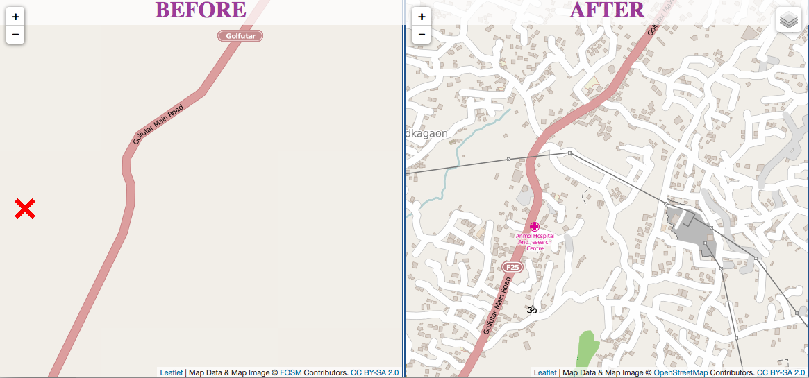
 Kathmandu before and after the Humanitarian OpenStreetMap Team dived in.
Just 48 hours after Nepal’s devastating earthquake, thousands of volunteers from around the world helped create maps that guided emergency response teams.
Many of these “digital humanitarians” came from OpenStreetMap, an open source mapping effort. The Humanitarian OpenStreetMap Team (HOT) in launched 2010 after the earthquake in Haiti, when the office safeguarding country’s maps pancaked in the 7.0 temblor.
As of this writing, your eyes are still needed in Nepal to pore over satellite maps, identifying and tracing buildings, infrastructure and roads. This is also a great time to take an OSM workshop or try the tutorials so you can help out when the next crisis hits.
With that in mind, I headed to a recent workshop organized by Sameer Verma, a professor of information systems at SFSU, who’s also on the advisory board for the Commons Initiative.
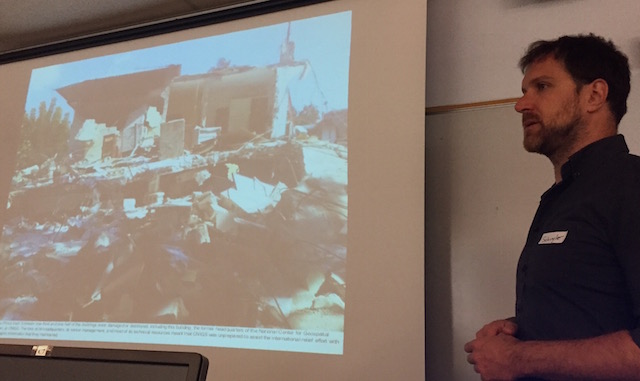
About 15 people – students, faculty and armchair mappers like me – learned the basics during a morning session led by DIY cartography pioneer and renaissance 2.0 guy Schuyler Erle.
“For the first time in history, an individual sitting on a couch can materially contribute to the welfare of people in a disaster situation halfway across the world,” Erle told participants.
Mapping continued in the afternoon with a few experienced mappers and recently trained folks teaching others. Verma adds that four Nepali students walked in after seeing the sign outside the building announcing the workshop. They trained and then traced/mapped for several hours, it “was impressive and touching,” he says. The Commons Initiative is planning more map sessions in the coming weeks so stay tuned.
Here’s a short tutorial for getting started with Humanitarian OpenStreetMap
Create an account on OpenStreetMap.org
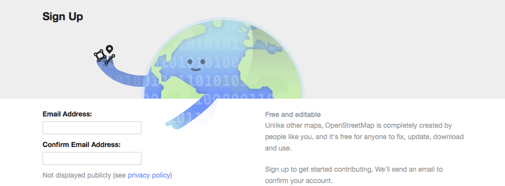
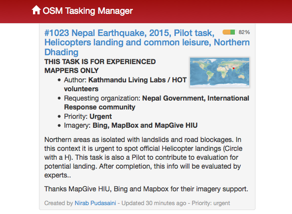
Use your OSM login at the HOT tasking manager
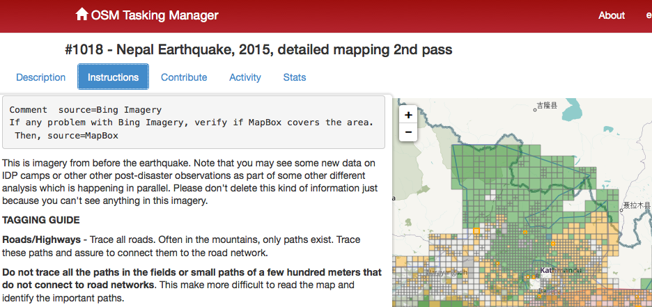
As you scroll down, look for tasks that do not require experienced mappers. This info is usually placed in all caps below the task title (see screenshot above). Erle says these are best left to people with about 100 hours of OSM experience or who have already logged extensive time with aerial satellite maps.
Click “Instructions,” to see exactly you’re looking for – roads or buildings, etc.
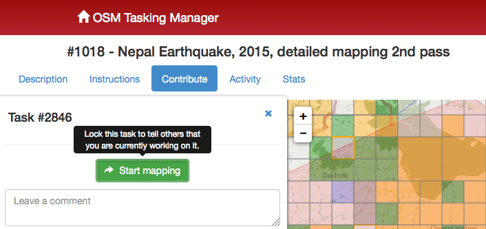
 Pick a square to map, which will lock it out from other contributors. It stays locked for two hours and if you don’t finish in that time frame, it’s unlocked for others to work on.
 Choose an editor. The easiest one for newcomers is ID editor, Erle says. When you click on it, the map will unfold in OpenStreetMap. Take a few minutes for the tutorial. The basic concepts will be familiar to anyone with mapping experience but are easy to get up to speed for newcomers.
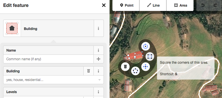
 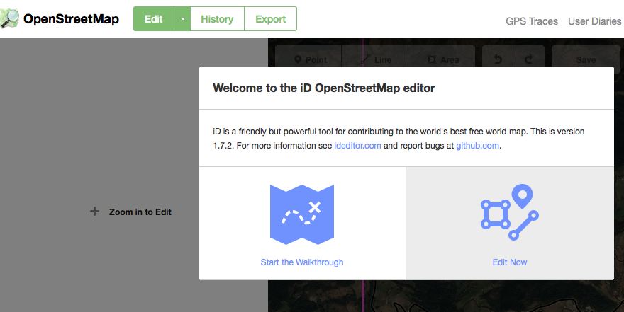 Also, taking a few minutes for the tutorial means you’ll avoid doing stuff like not squaring rectangular buildings, which is the OSM equivalent of wearing jeans to a wedding.
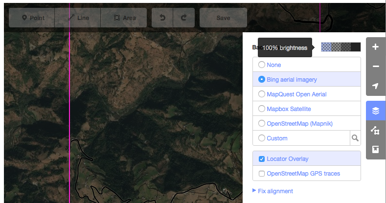
 Hmmm. Does your map look like a giant, shape-shifting mold patch? Hit the “settings” top right and pump up the brightness to 100 percent, Erle advises. Also check that the aerial imagery is set to “Bing;” HOT maps cannot currently use the other options.
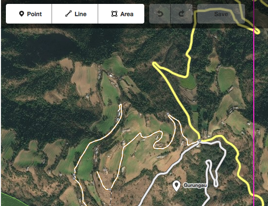
 Zoom in on your square (highlighted in hot pink) and start mapping.
 Be sure to check out OpenStreetMap’s extensive tutorials and exhaustive wiki. Consider taking your laptop out to a free workshop or finding locals via the mailing lists, too.
Let me know in the comments how you get on!

Armchair mappers: help prepare for the next humanitarian crisis: Kathmandu before and after OpenStree… http://t.co/SFXDUdRFGp #stories
Armchair mappers help prepare for the next humanitarian crisis. #NepalQuake @hotosm #SFSU
http://t.co/l2j9tq7RsL
Pingback: How to sharpen your emergency eyes with OpenStreetMap ? – Resiliency Maps