
CC-licensed, thanks to KM on Flickr
If you went by the maps available today your smartphone, you’d probably think the era of paper maps went out with the Rubik’s Cube.
But the next time you’re in a garden or park, you might come across a group of volunteers huddled around an 11×17 black-and-white printout, hopelessly trying to verify what should be where, clumsily marking it up with pencils and colored highlighters. Their work trails back indoors where it adds to a pile of similar maps that have to be verified (or interpreted?) before changes are put into the data base by a staffer. They are often printed out again and verified for accuracy.
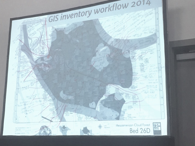
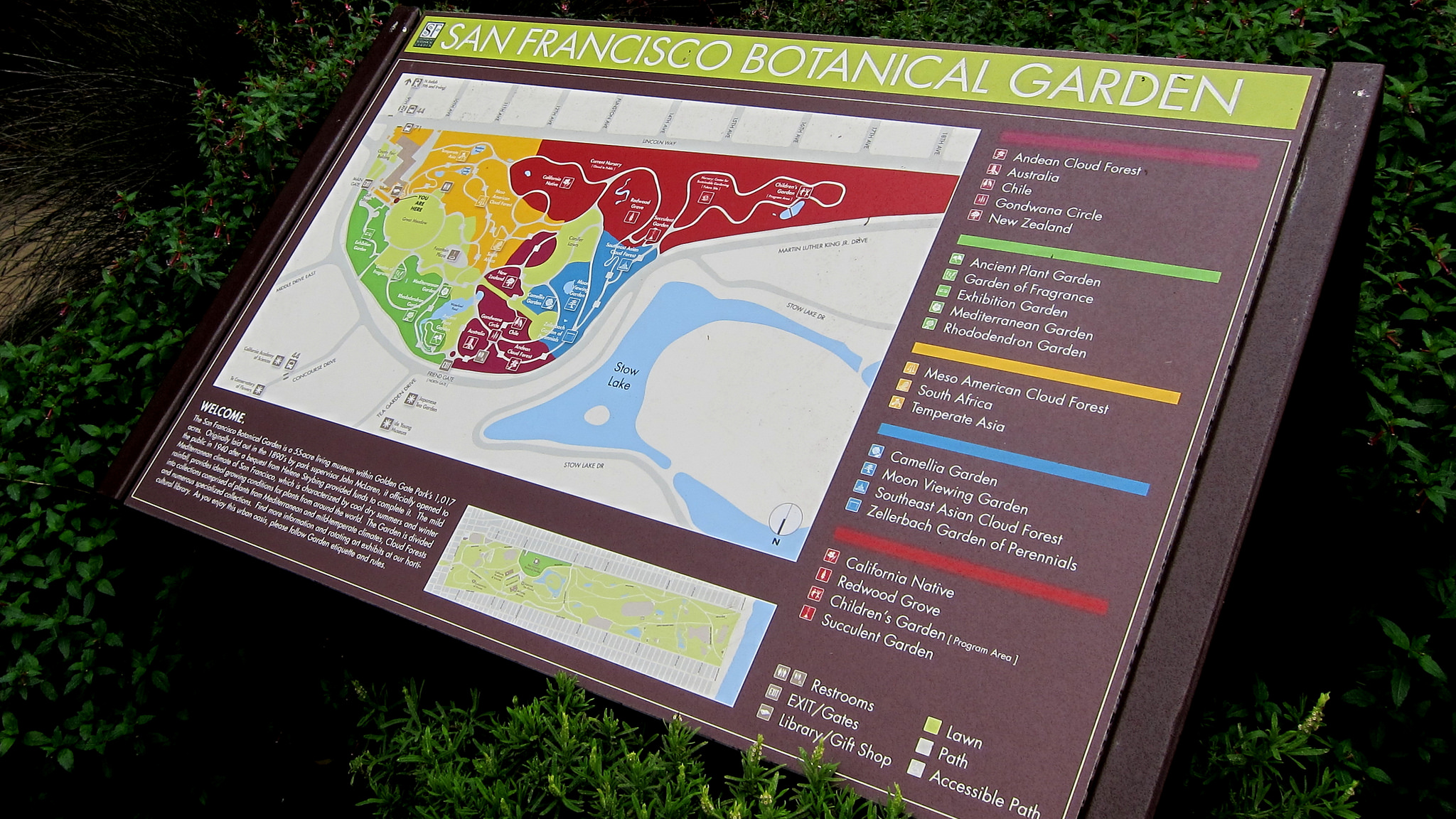
A typical paper verification map, SFBG.
That’s why around 40 people from zoos, gardens and parks from around the world came to a recent talk to hear how Steve Gensler, GIS manager of the San Francisco Botanical Gardens, and Veronica Nixon of the Desert Botanical Garden in Phoenix are using Collector for ArcGIS to maintaining botanical garden plant records at the ESRI User Conference.
The pair are using ESRI’s Collector app for ArcGIS to bring data collection and verification into the digital age. Botanical gardens are beginning to use ArcGIS software to maintain the detailed plant collection maps required to support research, management and education.
Collector – which can be used on smartphones and tablets – represents a huge growth spurt in usability from the typical clunky GPS range-finder for data collection and paper map for verification set-up. (As a volunteer mapper at the SFBG, I can testify that the previous methods were worse than poison oak.)
Many of these non-profits have a GIS manager whose principle workforce is volunteers — some tech-savvy grad students, others retirees set in analog ways — and getting them out in the field with tools that are easy to use, save time and improve accuracy reaps many benefits.
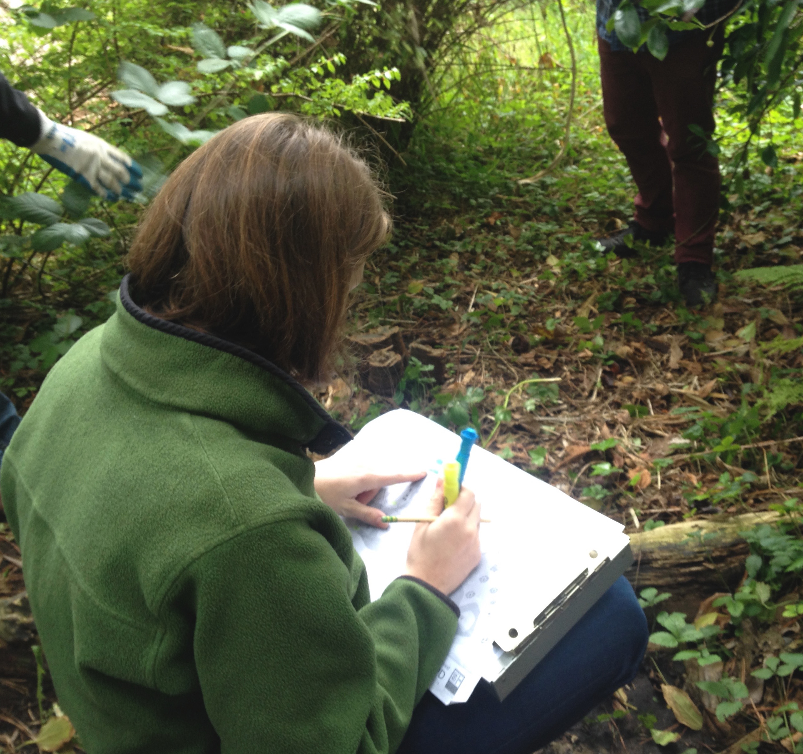
An SFBG volunteer on verification duty. Photo: Nicole Martinelli
“If you don’t design it carefully for these folks you could lose out on resource,” Nixon says. Accurate and timely info is seminal in a living garden environment. She cites a recent project where 18 volunteers fanned out into the 150 acres of garden to track the health of Saguaro cactus. 30 years earlier, cages had been installed to keep jackrabbits from munching on them – a generation later, those cages were gouging the plants. The Saguaro survey turned up 150 specimens that needed care plus a host of young plants that had sprouted up nearby and needed protection before they became a bunny’s lunch.
To smartphone users, Collector’s simple and intuitive interface makes sense — the kind where you never have to consult the manual or rely on an expert explaining interface quirks. Add some standard features typical of the app-driven economy (real-time updates, capture of photos and videos, ability to work offline) and you’ve got a system that’s easy to train people on and eliminates a ton of legwork and headaches.
Some did try to nip the new process in the bud. Nixon notes that pushback from a co-worker forced her to make improvements: the iPad screen was “too shiny” and while the woman found hand-drawn maps beautiful, “Collector is not a work of art.”
Nixon simplified the plant legend, so when people went out in the field to verify the map it looked like this:
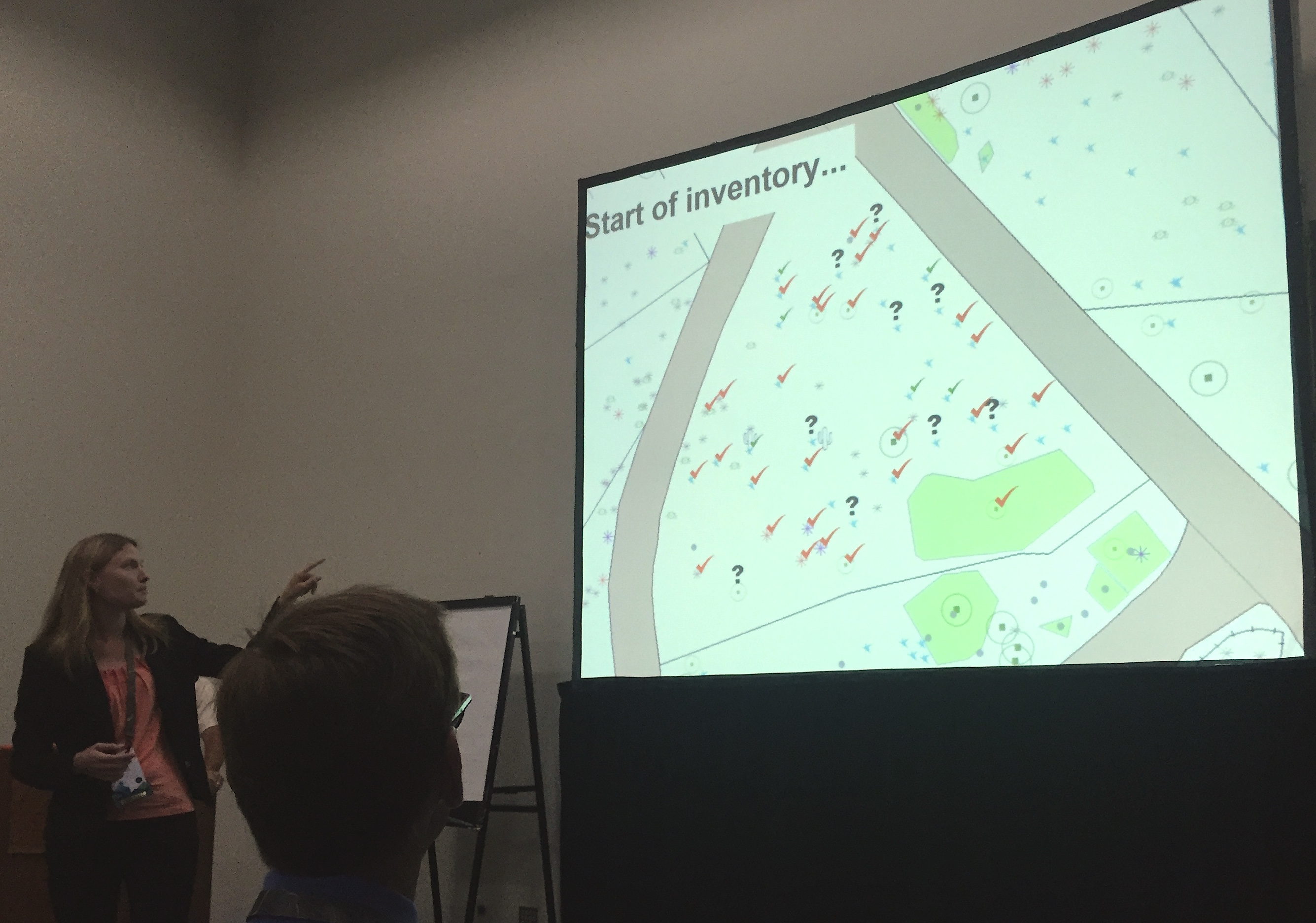
and when the completed, it looked like this:
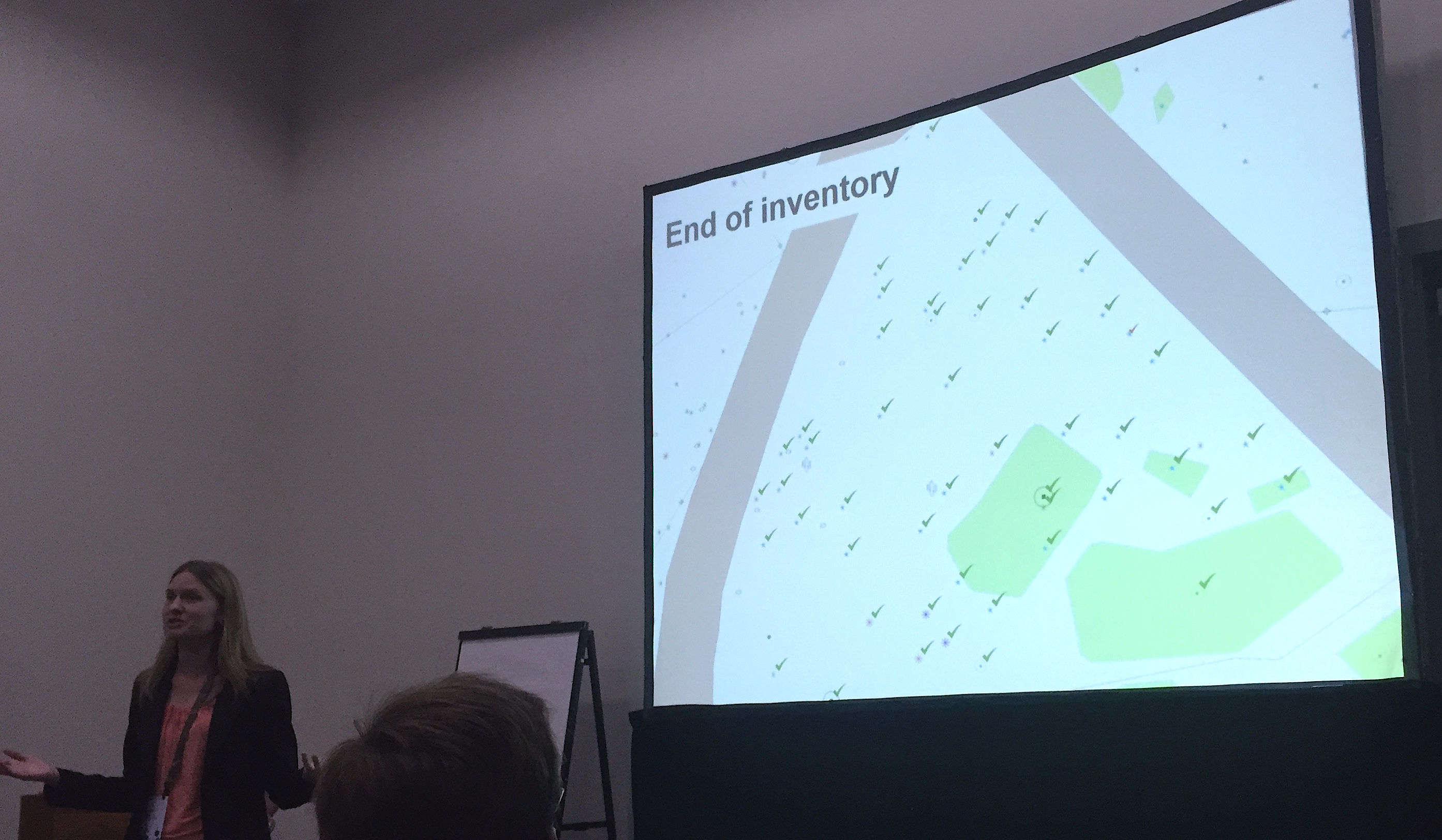 If not exactly art, it’s clean, simple, usable.
Gensler similarly says the process “eliminates GIS bottlenecks and makes GIS easily accessible with very little training.” He’s enlisted the team of “plant detectives” (volunteers who know Liriodendron chinense from Liriodendron tulipifera but are new to mapping) to use it with good results.
Trimming the paper also solves other problems. Paper that’s spent a foggy San Francisco morning on the 55-acre garden can be hard to read and there just isn’t enough staff for data entry. “We still have notebooks from 10 years ago that haven’t been input,” he says.
It was still something of a risk at the SFBG, however. “We knew that if it worked we could boost productivity as the app gradually improved,” Gensler says. “We’ve seen buy-in from plant collection and volunteers. People went from, ‘no way will this ever work’ to
‘we need more iPads.’”
With Collector, garden staff can work together on real-time updates — allowing him to “take the office outside where it should be.” Happy to trade his desktop for a pair of gardening gloves, he also added that the solution requires no additional programming skills.
Still, there’s room for improvements. Gensler says his next major project is to integrate the GIS database with the plant database and conduct more staff training. He’s also waiting for ESRI to offer dynamic labels, the ability to rotate the view within the app, the capability to edit the location and greater tap sensitivity. He and Nixon encouraged other users to head to the ideas.esri.com portal and vote up Collector suggestions to make them a priority.
In a short time, the app has supplanted traditional GPS in the SFBG. “When there are areas without enough landmarks, we use survey GPS, even though with the tree canopy it doesn’t work that well,” Gensler says. “We haven’t had to use GPS in a long time.”
Digital mapping finally blossoms for parks and rec: If you went by the maps available today your sma… https://t.co/CcXixzRM7b #stories
Sounds good!
Great article – from a retiree set in analog ways