Building resiliency maps for Indonesia

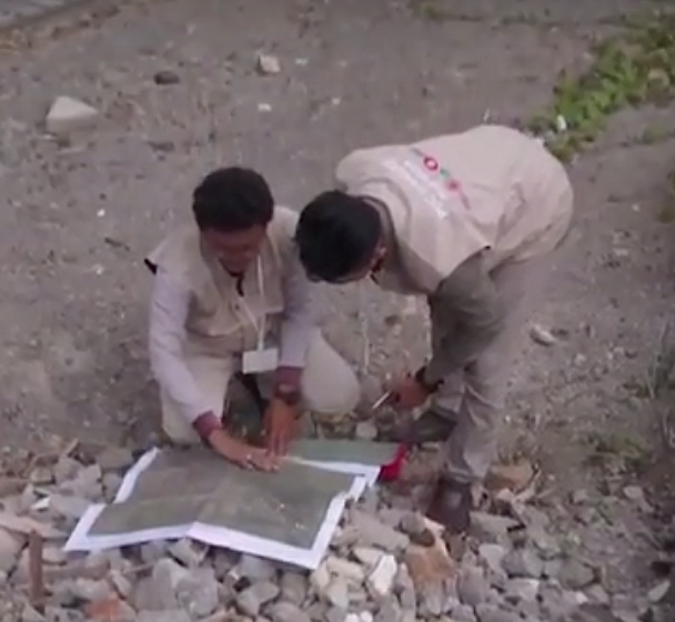
Mappers in Semarang. Via Humanitarian OpenStreetMap Team Indonesia.

Landslides. Motorcycle accidents. Mistaken for terrorists. These are some of the challenges faced by a team of local mappers in Indonesia working on disaster preparedness projects in three cities.

These speed bumps only make Harry Mahardhika chuckle. A training officer at Humanitarian OpenStreetMap Team Indonesia, he still managed to hand over atlases to government officials in Jakarta, Surabaya and Semarang. The printed maps show what he calls “lifeline infrastructure” —  shelters, reservoirs, banks, hospitals, fire stations and the like. His team also provides workshops to officials on best practices for verifying map data plus training manuals and documentation on mapmaking. Continue reading
How to use mobile app Go Map!! to edit OpenStreetMap

Here’s a quick tutorial for the Go Map!! iPhone / iPad app (v1.5.3) created by Bryce Cogswell and available gratis in the app store.

The short video above shows how to edit in two scenarios – adding information to an entry and adding a point-of-interest. The text below is a mashup of my experience using it and the app’s help section.

Continue reading

Getting started with OpenStreetMap: Making your first edit

If you want to contribute but aren’t familiar with OpenStreetMap (OSM), here’s a tutorial to get you started. There are two quick ways to begin with OSM, you can edit the map with local information or armchair map for Humanitarian OpenStreetMap (HOT.) Either way, you’ll need to create a free account here. This LearningOSM guide is also worth a look.

Method one: Edit what you know

Once you’re logged in, choose your editor. The easiest one for beginners is iD. You’ll be asked if you want the walkthrough before editing – take it! There are more details on settings below in the humanitarian tutorial. Continue reading