Building resiliency maps for Indonesia

Mappers in Semarang. Via Humanitarian OpenStreetMap Team Indonesia.

Landslides. Motorcycle accidents. Mistaken for terrorists. These are some of the challenges faced by a team of local mappers in Indonesia working on disaster preparedness projects in three cities.

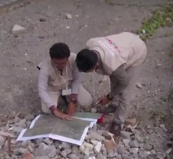
These speed bumps only make Harry Mahardhika chuckle. A training officer at Humanitarian OpenStreetMap Team Indonesia, he still managed to hand over atlases to government officials in Jakarta, Surabaya and Semarang. The printed maps show what he calls “lifeline infrastructure” —  shelters, reservoirs, banks, hospitals, fire stations and the like. His team also provides workshops to officials on best practices for verifying map data plus training manuals and documentation on mapmaking. Continue reading

A quickie map of San Francisco’s earthquake prone skyscrapers


See full screen

See full screen – search for San Francisco if you see a world map.

The New York Times recently ran a story about San Francisco high rises – mostly downtown and South of Market – with steel frames that harbor particular risk in a quake of magnitude seven or higher. About 40 of these skyscrapers, erected before a 1994 building code outlawed a flawed welding technique, were cited in an April USGS report.

It’s one of those stories that could’ve used in interactive map at its core, but instead (it’s the news business, kid!) the map was a small, static graphic (see below) and the story ended with a list of the addresses.
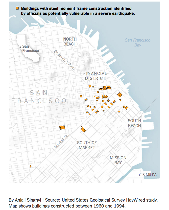
Image courtesy NYT.

So here’s a simple map of those 39 steel moment-frame buildings. A few necessary caveats: this is the handiwork of a casual mapper trying out a new tool. I’ve been looking for a way to use OpenStreetMap to make personalized maps and spotted some earthquake maps from the Japanese OSM community with uMap, so it seemed worth a try. It was heavy going for a map made on the fly – the polygon tool was clunky and importing the list as a cleaned up .CSV wasn’t happening.

Still, a few things pop out: A few of these risky buildings are also near construction sites. In OSM, these are shown in sage green. (The light green represents parks.)

The struggle to use the uMap polygon tool is real. This is a closeup of 550 California Street, with a 19-story office building under construction nearby.

The Folsom Bay Tower will be a 39-story, 422-foot (129 m) residential skyscraper.
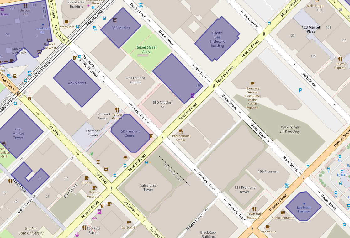
Park Tower at Transbay will have 43 stories, First & Mission’s Oceanwide Center features 636-foot-tall tower on Mission at First Street and a 910-foot-tall tower on the opposite corner on First Street.

And much like the reporter, shocked to discover the NYT offices are in one of these buildings, there were a few a-ha moments. A family member works in one and I’ve been inside at least a handful recently – an event at Autodesk, a movie at Embarcadero Center, a meetup, drinks with a friend staying at the Marriott, emerged from the Montgomery Street Station in front of one three or four times, etc.

It’s an unscientific sample size of one (well, two if you count the reporter) but would wager that most people who live or work in San Francisco are around, if not inside, these buildings frequently.

How to use mobile app Go Map!! to edit OpenStreetMap

Here’s a quick tutorial for the Go Map!! iPhone / iPad app (v1.5.3) created by Bryce Cogswell and available gratis in the app store.

The short video above shows how to edit in two scenarios – adding information to an entry and adding a point-of-interest. The text below is a mashup of my experience using it and the app’s help section.

Continue reading

Making digital maps with pen and paper: Meet Field Papers

Field Papers is a great low-tech solution for mapping. You chose an area to map, print it, walk outside with the paper copy and mark things up, then scan or take a pic of it with the QR code and it’s added as a layer to OpenStreetMap (OSM). From there you can add your data to the largest public, editable map in the world.

It’s the handiwork of venerable design firm Stamen, who later got together with U.S. Agency for International Development (USAID) for improvements. Because it’s an open-source project whose last major changes were made five years ago and many tutorials showed the previous interface, it seemed like a good idea to test drive it.

The quick slide show above shows how it works — even if you make rookie mistakes like leaving the clipboard in your photo, duh! — the test run taking about an hour total, from figuring out how to position the map to editing in OSM.

It’s been used around the world for large mapathons, where people don’t have smartphones or OSM knowledge — you hand them sheets, they go out mapping, then they hand in the sheets and they’re done. It can be a potential bottleneck for OSM data entry after collection, but surmountable. Potentially it’s also an advantage — you can get a lot of people out mapping but only need a few with OSM knowledge or who want to learn.

Why OpenStreetMap matters: Where did Dokdo go?

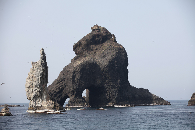
One of the rocky outcrops under dispute. Photo // CC BY NC

Battle lines have always been drawn over maps. Place names are political, cultural, temporal: from Constantinople to Istanbul and Burma to Myanmar what a place is called matters.
In the digital age, however, you have no idea who is behind the changes and why.  The companies that make the maps millions of people use every day change names following opaque processes that appear to depend on who lobbies loudest at the moment. It’s a strong argument for free, public, editable maps like OpenStreetMap where both the changes and the debate are transparent.

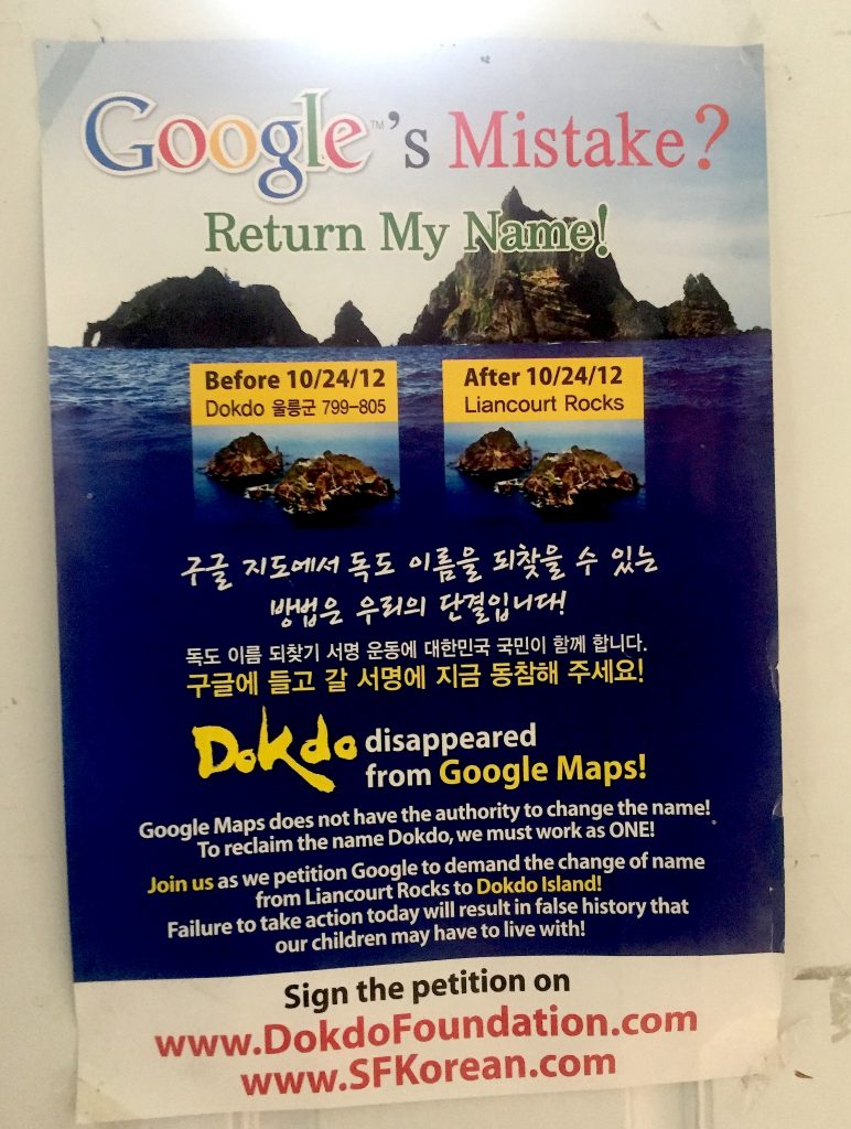
About a week ago, I spotted this poster petitioning Google to put Dokdo back on the map at San Francisco’s Korean American Community Center of San Francisco & Bay Area.

Continue reading

Armchair mappers: Help prepare for the next humanitarian crisis

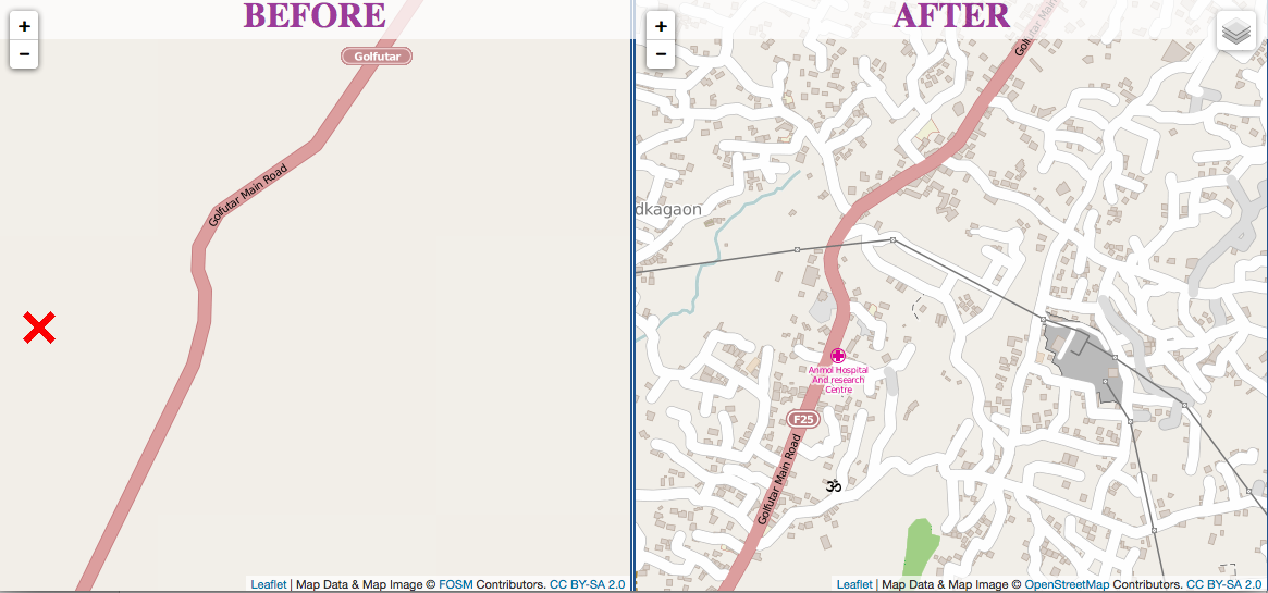
Screen Shot 2015-05-07 at 5.05.35 PMKathmandu before and after the Humanitarian OpenStreetMap Team dived in.

Just 48 hours after Nepal’s devastating earthquake, thousands of volunteers from around the world helped create maps that guided emergency response teams.

Many of these “digital humanitarians” came from OpenStreetMap, an open source mapping effort. The Humanitarian OpenStreetMap Team (HOT) in launched 2010 after the earthquake in Haiti, when the office safeguarding country’s maps pancaked in the 7.0 temblor.

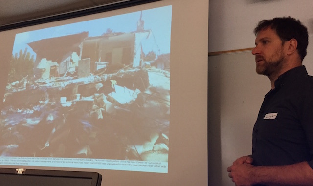
_Schuyler Erle shows what happened to Haiti's mapping office post earthquake._

Schuyler Erle shows what happened to Haiti’s mapping office after the earthquake.

Continue reading